


Product Details
+
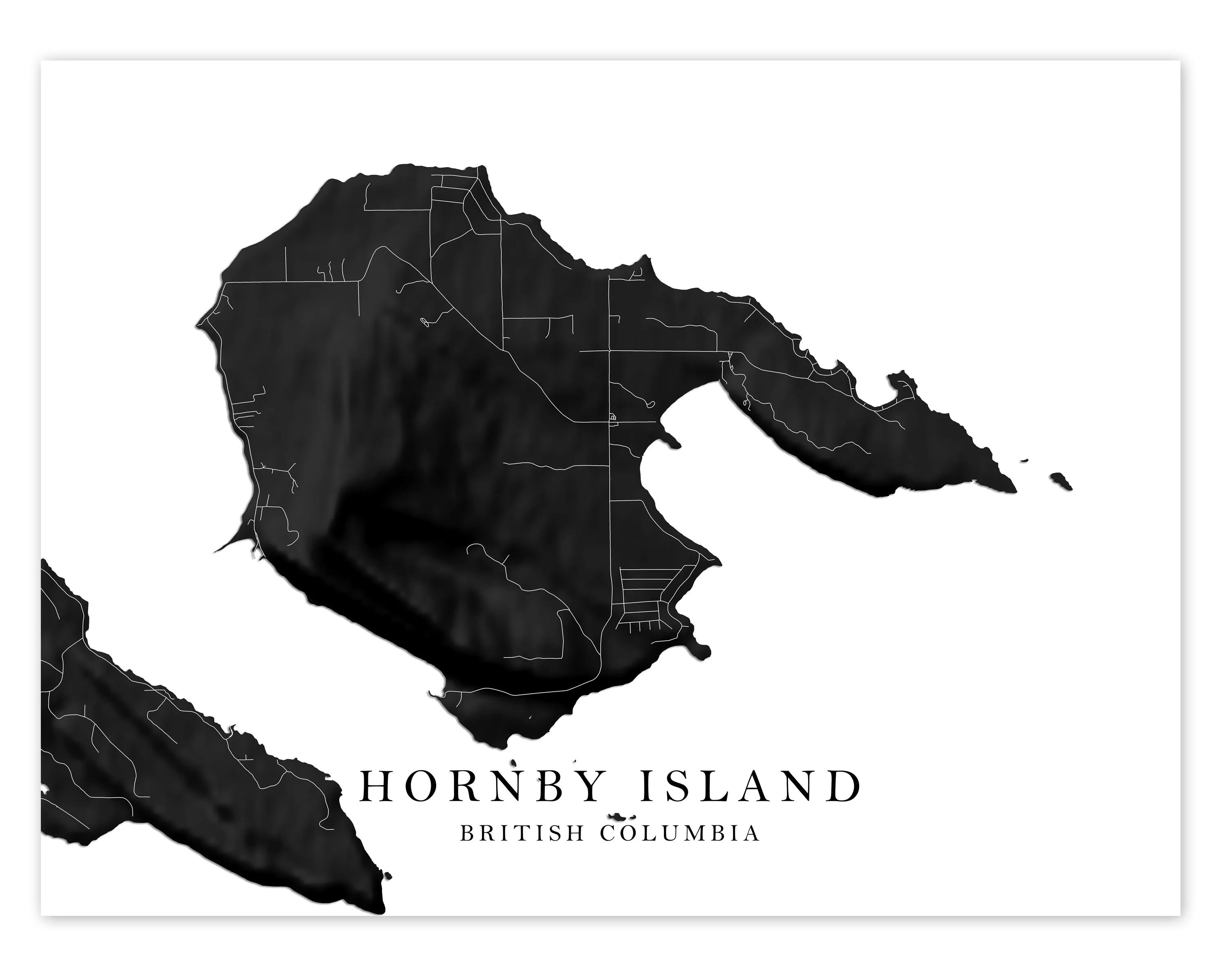
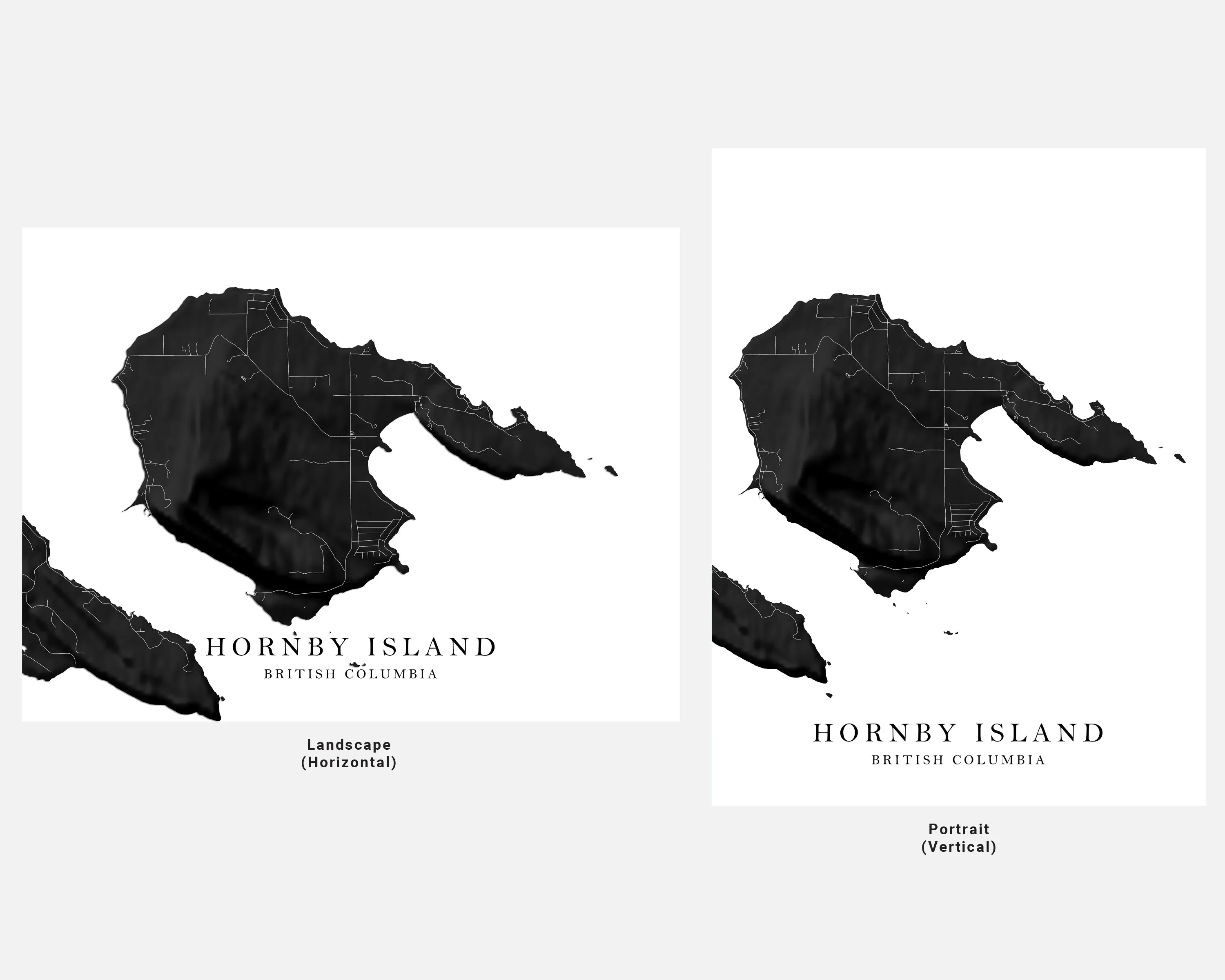
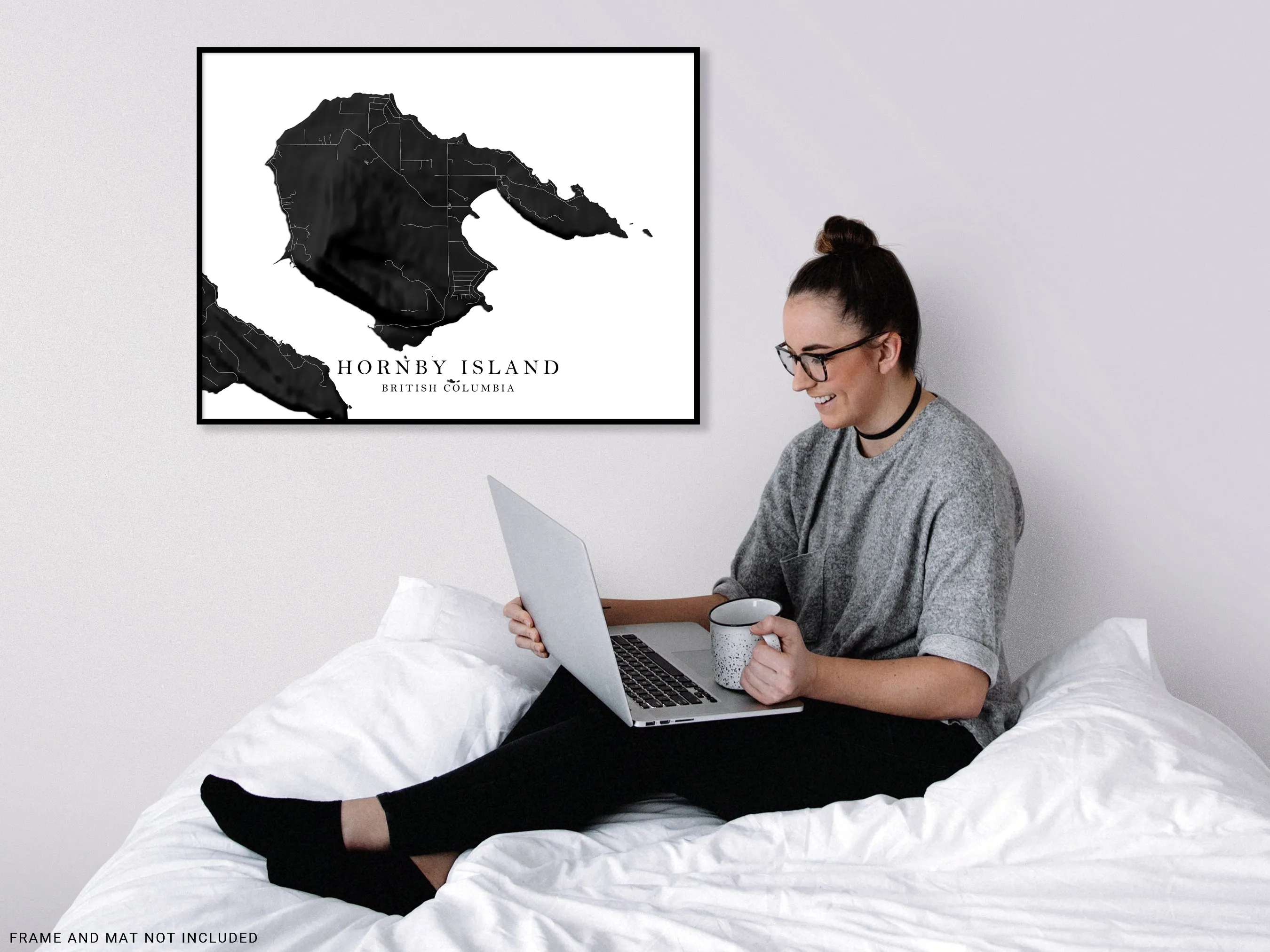
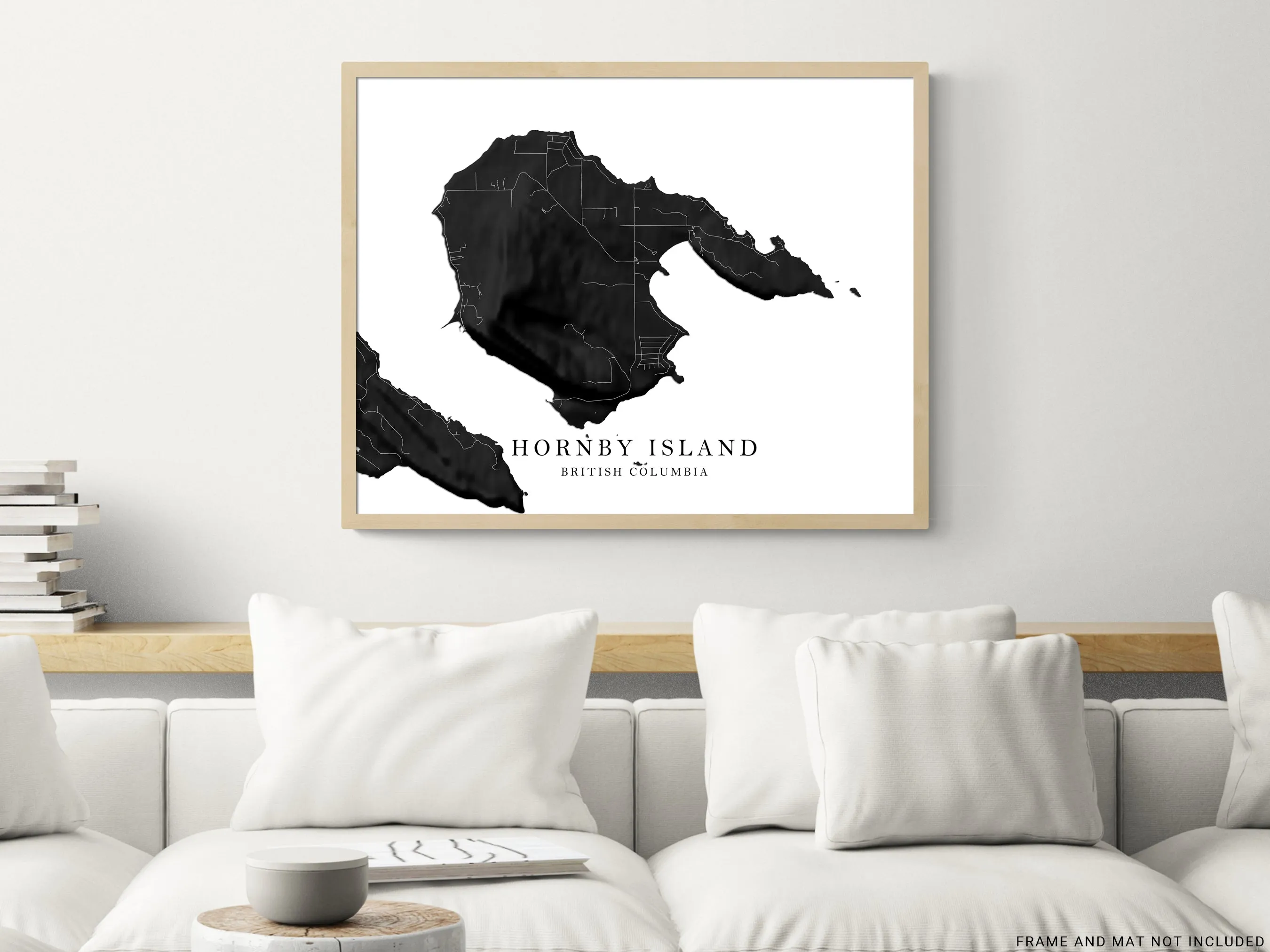
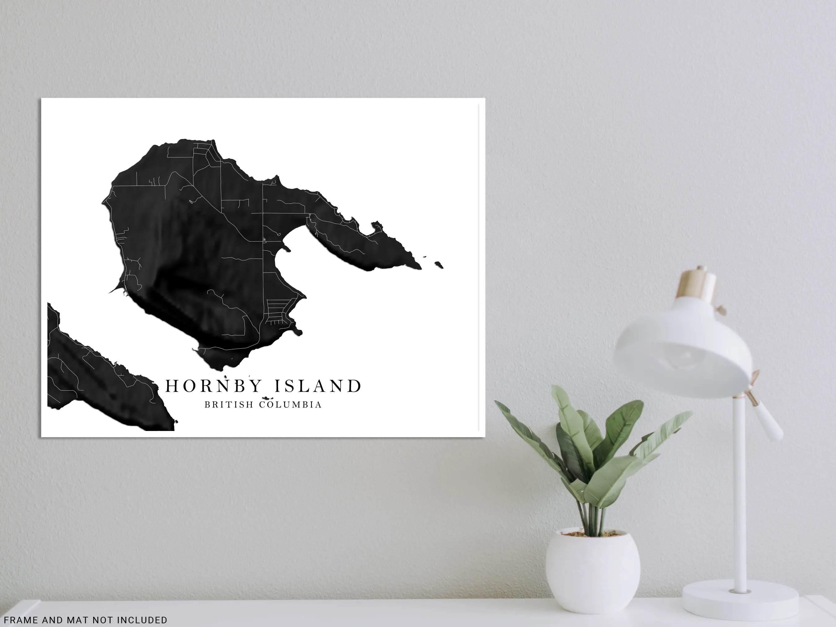
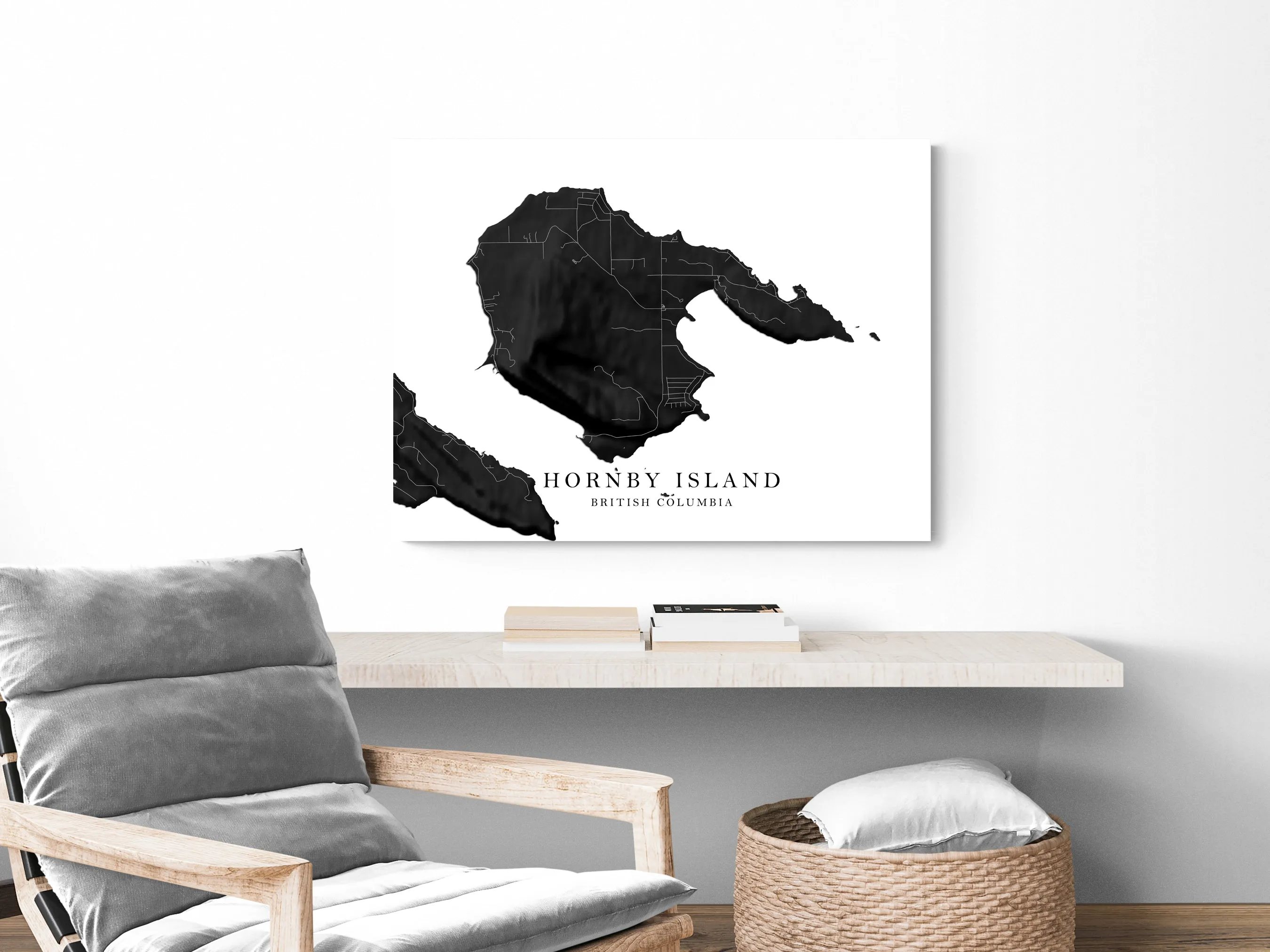
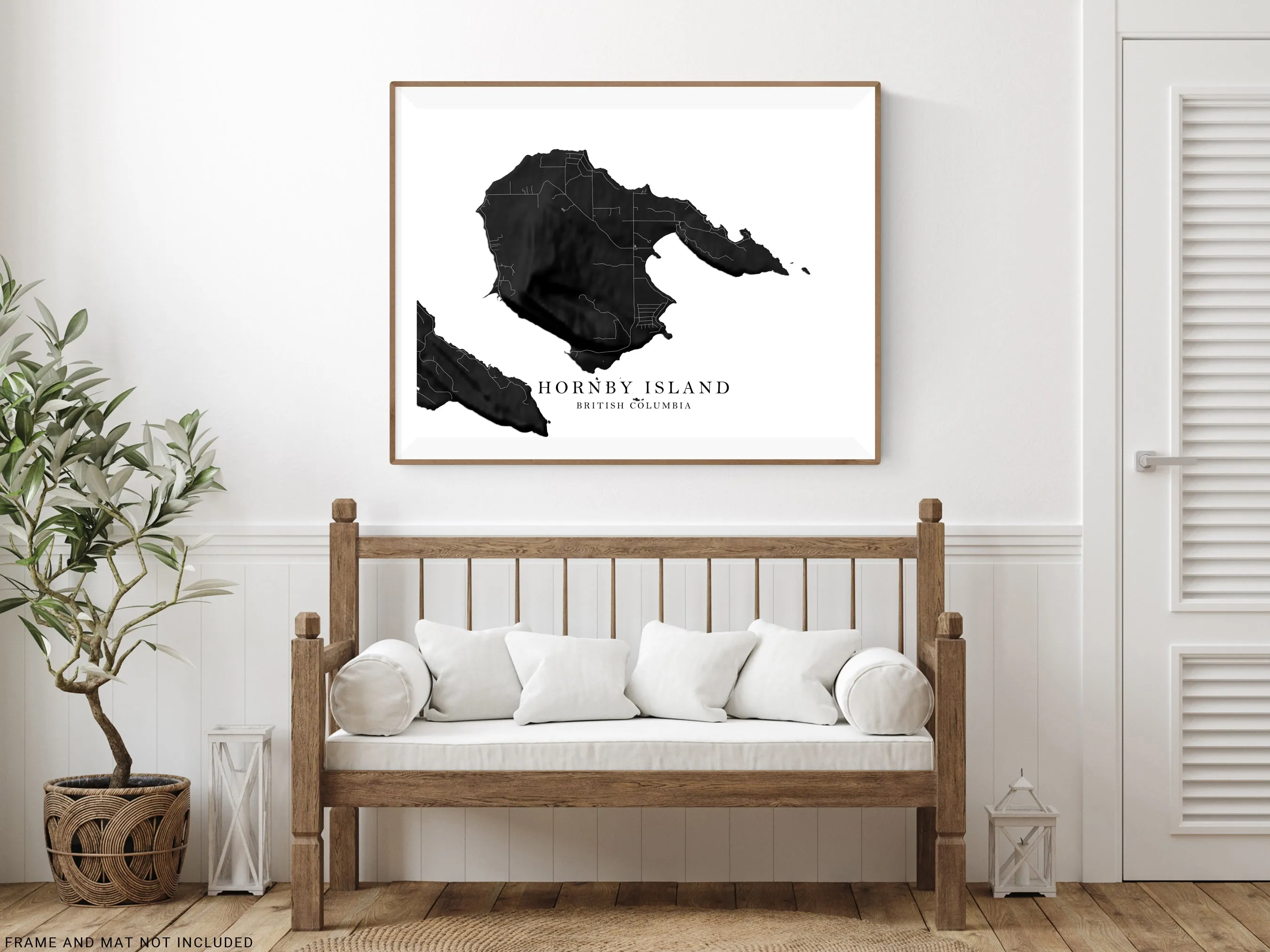
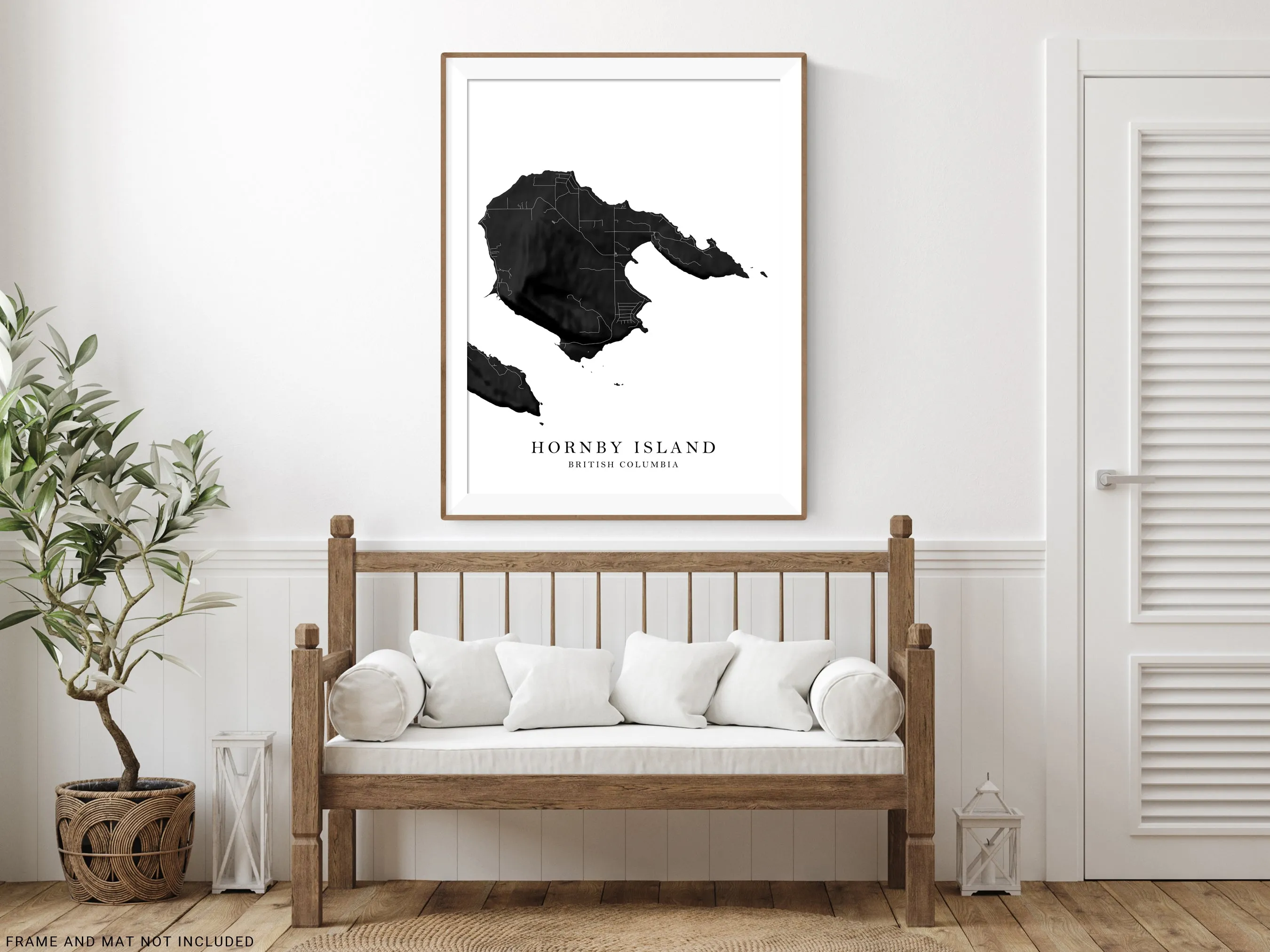
Hornby island, BC, Canada map line art print with 3D topographic black and white landscape features and main island streets and roads by Maps As Art. Map includes Tribune Bay and Helliwell Provincial parks
- 8 sizes - print 8x10" to map poster 40x60" to fit your home decor wall space.
- page orientation - portrait (vertical) or landscape (horizontal).
😀 REMOVE TITLE?
Leave us a "remove text" note at checkout.
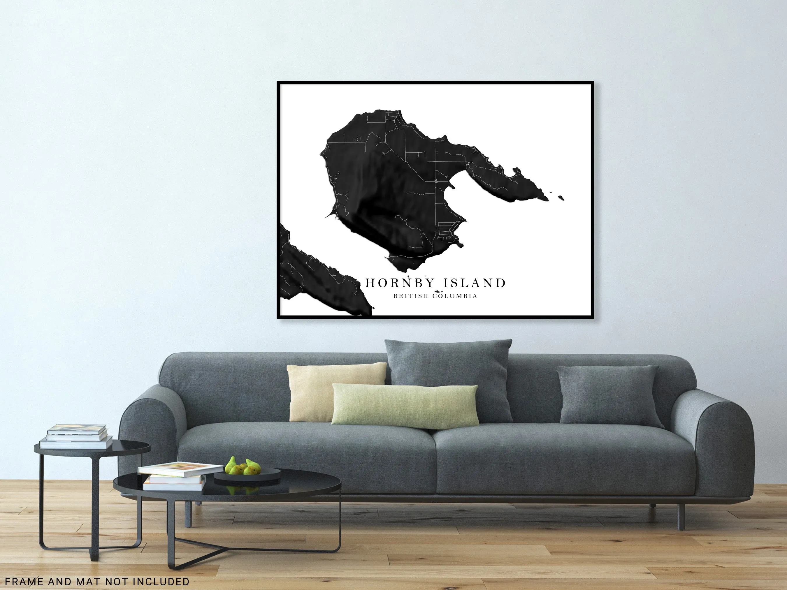
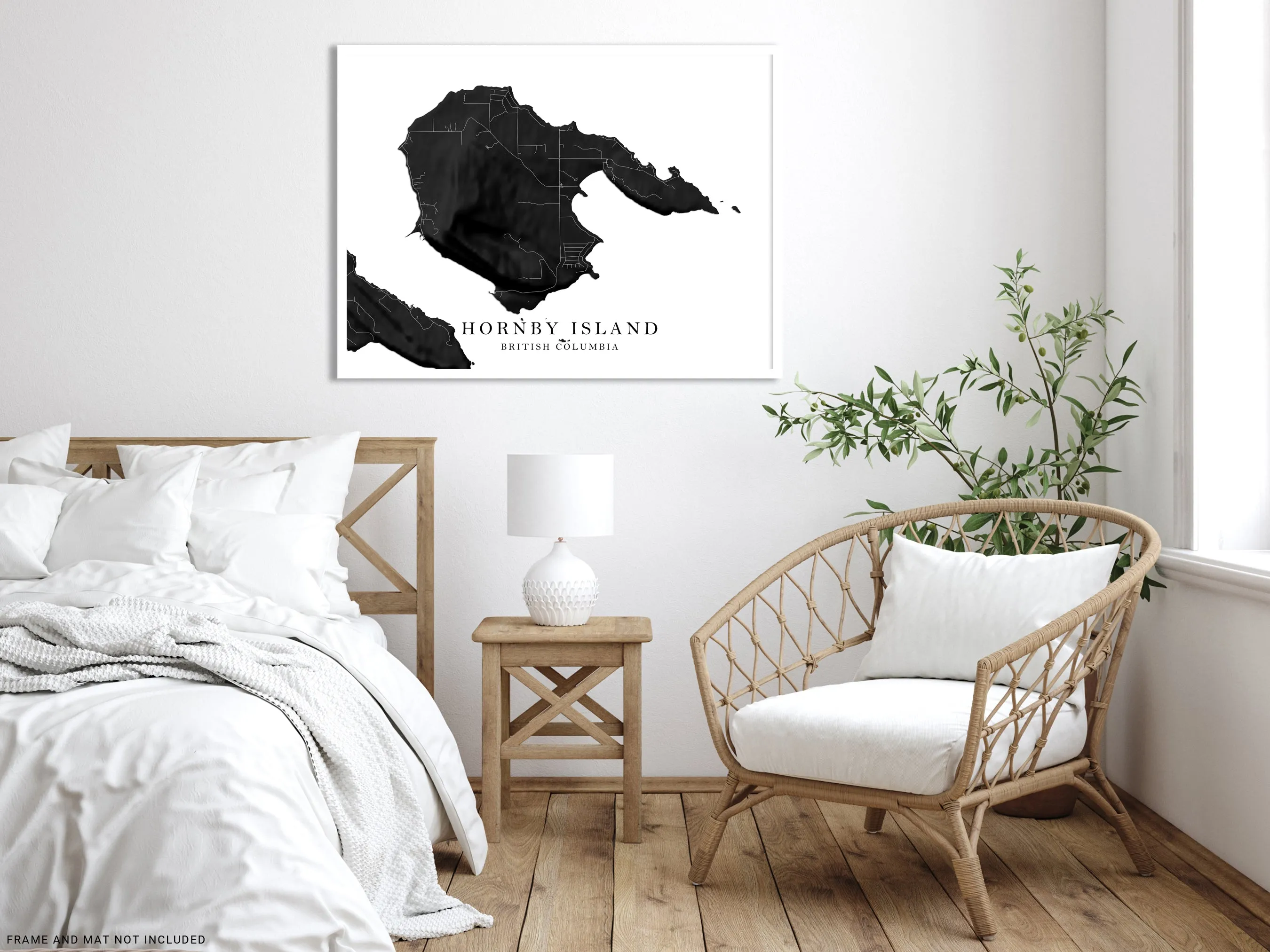
This Hornby island, British Columbia map from Maps As Art is ideal for those looking for a personal travel, honeymoon, or wedding gift.
Our prints are crafted in-house using high-grade papers and inks with professional-level printers, creating an attractive piece suitable for wall display.
- Print only (frame/mat not included).


")


